Flight time from Addis Ababa to Cairo
How long is the flight time from Addis Ababa to Cairo?
The flight time between Addis Ababa and Cairo is 3 hours 31 minutes.
What is the Flight Distance Between Addis Ababa and Cairo?
The flight distance from Addis Ababa (Ethiopia) to Cairo (Egypt) is 1533 miles or 2466 kilometers or 1331 nautical miles.
The calculated distance between two cities is the straight flight distance measured from one point to another by air. The nearest airport to Addis Ababa is Addis Ababa Bole International Airport (ADD) and the nearest airport to Cairo is Cairo International Airport (CAI).
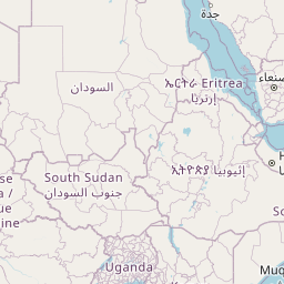
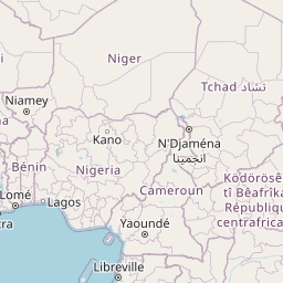
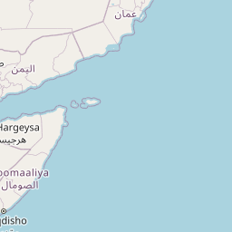
Map of flight path from Addis Ababa to Cairo
The map of the shortest flight path between Addis Ababa, Ethiopia and Cairo, Egypt is displayed below.
       Leaflet | © OpenStreetMap |
Addis Ababa Details
Addis Ababa is located in Ethiopia.
| GPS Coordinates | Latitude: N 9° 1' 29.9'' Longitude: E 38° 44' 48.8'' |
|---|---|
| Latitude | 9.02497 |
| Longitude | 38.74689 |
| Country | Ethiopia |
Addis Ababa Bole International Airport (ADD)
Time Difference between Addis Ababa and Cairo
Time difference between Addis Ababa (Ethiopia) and Cairo (Egypt) is 0 Hours.
| Current local time in Addis Ababa | Current local time in Cairo |
|---|---|
| 2025-07-14, 22:14:28 EAT | 2025-07-14, 22:14:28 EEST |
Popular Searches from Addis Ababa
Popular Searches from Cairo
Please add a bookmark (press CTRL+D to add) and share the page with your friends!