Flight time from Biên Hòa to Canberra
How long is the flight time from Biên Hòa to Canberra?
The flight time between Biên Hòa and Canberra is 9 hours 42 minutes.
What is the Flight Distance Between Biên Hòa and Canberra?
The flight distance from Biên Hòa (Vietnam) to Canberra (Australia) is 4223 miles or 6796 kilometers or 3667 nautical miles.
The calculated distance between two cities is the straight flight distance measured from one point to another by air. The nearest airport to Biên Hòa is Tan Son Nhat International Airport (SGN) and the nearest airport to Canberra is Sydney Kingsford Smith International Airport (SYD).
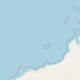
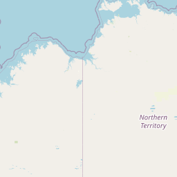
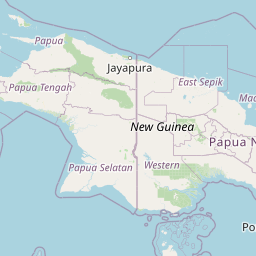
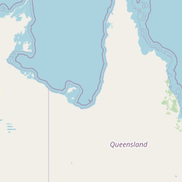
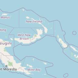
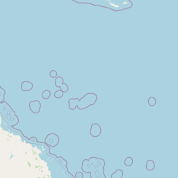
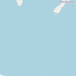
Map of flight path from Biên Hòa to Canberra
The map of the shortest flight path between Biên Hòa, Vietnam and Canberra, Australia is displayed below.
                               Leaflet | © OpenStreetMap |
Time Difference between Biên Hòa and Canberra
Time difference between Biên Hòa (Vietnam) and Canberra (Australia) is 3 Hours.
Canberra time is 3 Hours ahead of Biên Hòa.
Canberra time is 3 Hours ahead of Biên Hòa.
| Current local time in Biên Hòa | Current local time in Canberra |
|---|---|
| 2025-05-29, 10:00:24 +07 | 2025-05-29, 13:00:24 AEST |
Popular Searches from Biên Hòa
Popular Searches from Canberra
Please add a bookmark (press CTRL+D to add) and share the page with your friends!