Flight time from Biên Hòa to Wellington
How long is the flight time from Biên Hòa to Wellington?
The flight time between Biên Hòa and Wellington is 12 hours 54 minutes.
What is the Flight Distance Between Biên Hòa and Wellington?
The flight distance from Biên Hòa (Vietnam) to Wellington (New Zealand) is 5616 miles or 9038 kilometers or 4877 nautical miles.
The calculated distance between two cities is the straight flight distance measured from one point to another by air. The nearest airport to Biên Hòa is Tan Son Nhat International Airport (SGN) and the nearest airport to Wellington is Wellington International Airport (WLG).
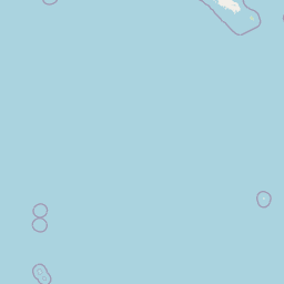
Map of flight path from Biên Hòa to Wellington
The map of the shortest flight path between Biên Hòa, Vietnam and Wellington, New Zealand is displayed below.
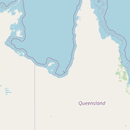 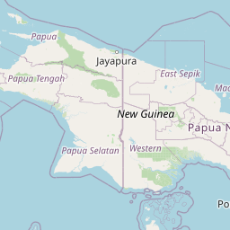 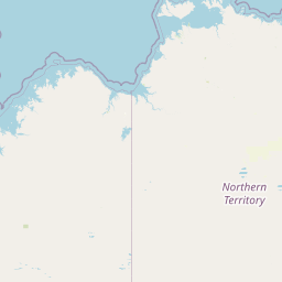 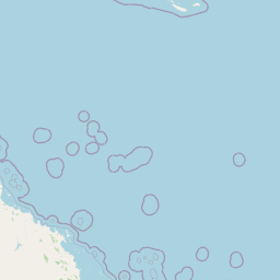   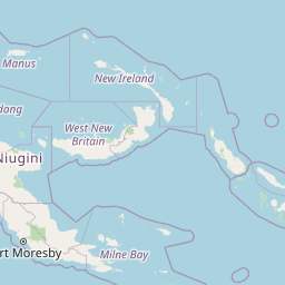   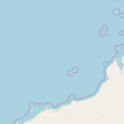 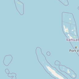  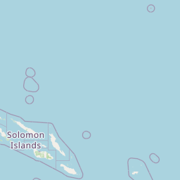 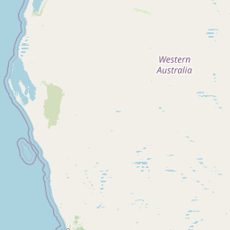   Leaflet | © OpenStreetMap |
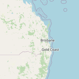
Wellington Details
Wellington is located in New Zealand.
| GPS Coordinates | Latitude: S 41° 17' 11.9'' Longitude: E 174° 46' 32.1'' |
|---|---|
| Latitude | -41.28664 |
| Longitude | 174.77557 |
| Country | New Zealand |
Wellington International Airport (WLG)
Time Difference between Biên Hòa and Wellington
Time difference between Biên Hòa (Vietnam) and Wellington (New Zealand) is 5 Hours.
Wellington time is 5 Hours ahead of Biên Hòa.
Wellington time is 5 Hours ahead of Biên Hòa.
| Current local time in Biên Hòa | Current local time in Wellington |
|---|---|
| 2025-06-01, 21:45:11 +07 | 2025-06-02, 02:45:11 NZST |
Popular Searches from Biên Hòa
Popular Searches from Wellington
Please add a bookmark (press CTRL+D to add) and share the page with your friends!