Flight time from Bloemfontein to Nuku‘alofa
How long is the flight time from Bloemfontein to Nuku‘alofa?
The flight time between Bloemfontein and Nuku‘alofa is 19 hours 57 minutes.
What is the Flight Distance Between Bloemfontein and Nuku‘alofa?
The flight distance from Bloemfontein (South Africa) to Nuku‘alofa (Tonga) is 8683 miles or 13973 kilometers or 7540 nautical miles.
The calculated distance between two cities is the straight flight distance measured from one point to another by air. The nearest airport to Bloemfontein is OR Tambo International Airport (JNB) and the nearest airport to Nuku‘alofa is Bauerfield International Airport (VLI).
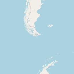
Map of flight path from Bloemfontein to Nuku‘alofa
The map of the shortest flight path between Bloemfontein, South Africa and Nuku‘alofa, Tonga is displayed below.
                                     Leaflet | © OpenStreetMap |
Bloemfontein Details
Bloemfontein is located in South Africa.
| GPS Coordinates | Latitude: S 29° 7' 15.9'' Longitude: E 26° 12' 50.4'' |
|---|---|
| Latitude | -29.12107 |
| Longitude | 26.214 |
| Country | South Africa |
Bram Fischer International Airport (BFN)
Nuku‘alofa Details
Nuku‘alofa is located in Tonga.
| GPS Coordinates | Latitude: S 21° 8' 21.8'' Longitude: W 175° 12' 6.5'' |
|---|---|
| Latitude | -21.13938 |
| Longitude | -175.2018 |
| Country | Tonga |
Fua'amotu International Airport (TBU)
Time Difference between Bloemfontein and Nuku‘alofa
Time difference between Bloemfontein (South Africa) and Nuku‘alofa (Tonga) is 11 Hours.
Nuku‘alofa time is 11 Hours ahead of Bloemfontein.
Nuku‘alofa time is 11 Hours ahead of Bloemfontein.
| Current local time in Bloemfontein | Current local time in Nuku‘alofa |
|---|---|
| 2025-08-14, 17:44:20 SAST | 2025-08-15, 04:44:20 +13 |
Popular Searches from Bloemfontein
Popular Searches from Nuku‘alofa
Please add a bookmark (press CTRL+D to add) and share the page with your friends!