Flight time from Boston to Bamako
How long is the flight time from Boston to Bamako?
The flight time between Boston and Bamako is 9 hours 48 minutes.
What is the Flight Distance Between Boston and Bamako?
The flight distance from Boston (United States) to Bamako (Mali) is 4263 miles or 6860 kilometers or 3702 nautical miles.
The calculated distance between two cities is the straight flight distance measured from one point to another by air. The nearest airport to Boston is Logan International Airport (BOS) and the nearest airport to Bamako is Modibo Keita International Airport (BKO).
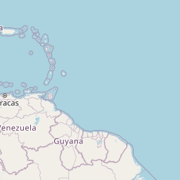
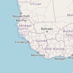
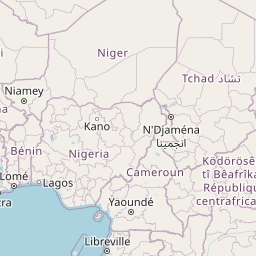
Map of flight path from Boston to Bamako
The map of the shortest flight path between Boston, United States and Bamako, Mali is displayed below.
                   Leaflet | © OpenStreetMap |
Boston Details
Boston is located in United States.
| GPS Coordinates | Latitude: N 42° 21' 30.3'' Longitude: W 71° 3' 35.2'' |
|---|---|
| Latitude | 42.35843 |
| Longitude | -71.05977 |
| Country | United States |
Logan International Airport (BOS)
Theodore Francis Green State Airport (PVD)
Portsmouth International at Pease Airport (PSM)
Time Difference between Boston and Bamako
Time difference between Boston (United States) and Bamako (Mali) is 4 Hours.
Bamako time is 4 Hours ahead of Boston.
Bamako time is 4 Hours ahead of Boston.
| Current local time in Boston | Current local time in Bamako |
|---|---|
| 2025-08-17, 20:50:10 EDT | 2025-08-18, 00:50:10 GMT |
Popular Searches from Boston
Popular Searches from Bamako
Please add a bookmark (press CTRL+D to add) and share the page with your friends!