Flight time from Dili to Port-Vila
How long is the flight time from Dili to Port-Vila?
The flight time between Dili and Port-Vila is 6 hours 45 minutes.
What is the Flight Distance Between Dili and Port-Vila?
The flight distance from Dili (East Timor) to Port-Vila (Vanuatu) is 2938 miles or 4728 kilometers or 2551 nautical miles.
The calculated distance between two cities is the straight flight distance measured from one point to another by air. The nearest airport to Dili is Darwin International Airport / RAAF Darwin (DRW) and the nearest airport to Port-Vila is Bauerfield International Airport (VLI).
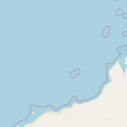
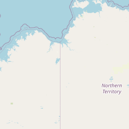
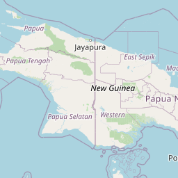
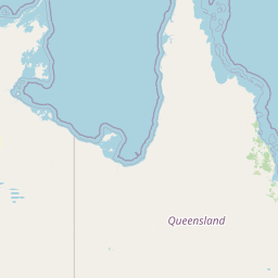
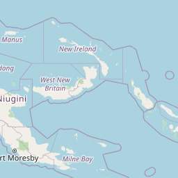
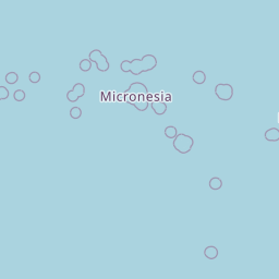
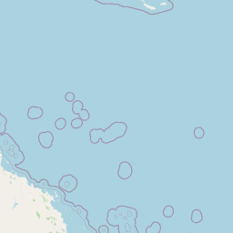
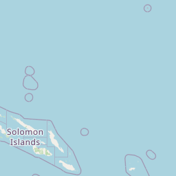
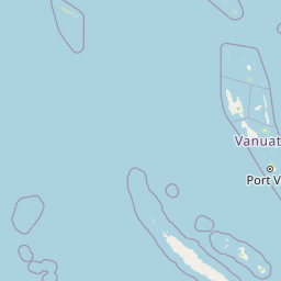
Map of flight path from Dili to Port-Vila
The map of the shortest flight path between Dili, East Timor and Port-Vila, Vanuatu is displayed below.
                       Leaflet | © OpenStreetMap |
Dili Details
Dili is located in East Timor.
| GPS Coordinates | Latitude: S 8° 33' 31'' Longitude: E 125° 34' 25'' |
|---|---|
| Latitude | -8.55861 |
| Longitude | 125.57361 |
| Country | East Timor |
Presidente Nicolau Lobato International Airport (DIL)
Time Difference between Dili and Port-Vila
Time difference between Dili (East Timor) and Port-Vila (Vanuatu) is 2 Hours.
Port-Vila time is 2 Hours ahead of Dili.
Port-Vila time is 2 Hours ahead of Dili.
| Current local time in Dili | Current local time in Port-Vila |
|---|---|
| 2025-08-08, 10:51:55 +09 | 2025-08-08, 12:51:55 +11 |
Popular Searches from Dili
Popular Searches from Port-Vila
Please add a bookmark (press CTRL+D to add) and share the page with your friends!