Flight time from Harare to Kyiv
How long is the flight time from Harare to Kyiv?
The flight time between Harare and Kyiv is 10 hours 50 minutes.
What is the Flight Distance Between Harare and Kyiv?
The flight distance from Harare (Zimbabwe) to Kyiv (Ukraine) is 4718 miles or 7593 kilometers or 4097 nautical miles.
The calculated distance between two cities is the straight flight distance measured from one point to another by air. The nearest airport to Harare is Robert Gabriel Mugabe International Airport (HRE) and the nearest airport to Kyiv is Boryspil International Airport (KBP).
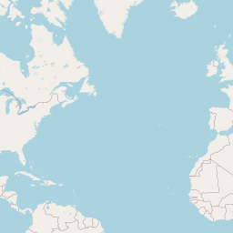
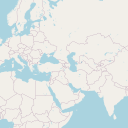
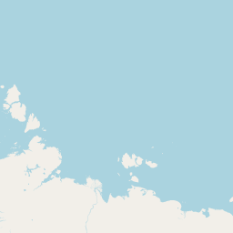
Map of flight path from Harare to Kyiv
The map of the shortest flight path between Harare, Zimbabwe and Kyiv, Ukraine is displayed below.
             Leaflet | © OpenStreetMap |
Time Difference between Harare and Kyiv
Time difference between Harare (Zimbabwe) and Kyiv (Ukraine) is 1 Hours.
Kyiv time is 1 Hours ahead of Harare.
Kyiv time is 1 Hours ahead of Harare.
| Current local time in Harare | Current local time in Kyiv |
|---|---|
| 2025-10-22, 23:16:38 CAT | 2025-10-23, 00:16:38 EEST |
Popular Searches from Harare
Popular Searches from Kyiv
Please add a bookmark (press CTRL+D to add) and share the page with your friends!