Flight time from Malacca to Port-Vila
How long is the flight time from Malacca to Port-Vila?
The flight time between Malacca and Port-Vila is 10 hours 48 minutes.
What is the Flight Distance Between Malacca and Port-Vila?
The flight distance from Malacca (Malaysia) to Port-Vila (Vanuatu) is 4700 miles or 7563 kilometers or 4081 nautical miles.
The calculated distance between two cities is the straight flight distance measured from one point to another by air. The nearest airport to Malacca is Kuala Lumpur International Airport (KUL) and the nearest airport to Port-Vila is Bauerfield International Airport (VLI).
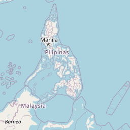
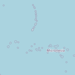
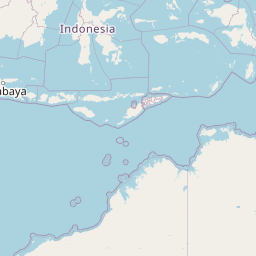
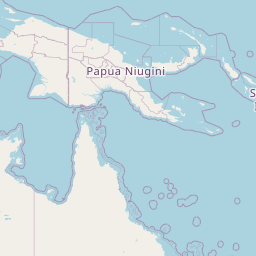
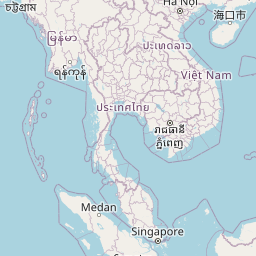
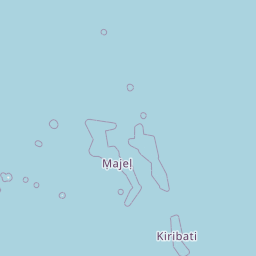
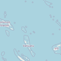
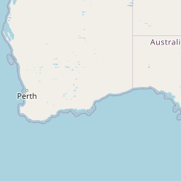
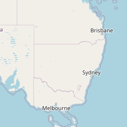
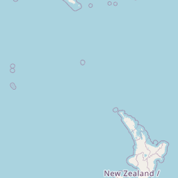
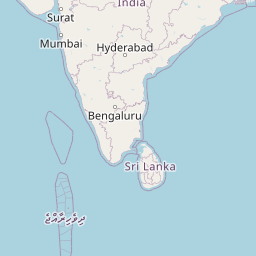
Map of flight path from Malacca to Port-Vila
The map of the shortest flight path between Malacca, Malaysia and Port-Vila, Vanuatu is displayed below.
                   Leaflet | © OpenStreetMap |
Time Difference between Malacca and Port-Vila
Time difference between Malacca (Malaysia) and Port-Vila (Vanuatu) is 3 Hours.
Port-Vila time is 3 Hours ahead of Malacca.
Port-Vila time is 3 Hours ahead of Malacca.
| Current local time in Malacca | Current local time in Port-Vila |
|---|---|
| 2025-08-14, 03:36:51 +08 | 2025-08-14, 06:36:51 +11 |
Popular Searches from Malacca
Popular Searches from Port-Vila
Please add a bookmark (press CTRL+D to add) and share the page with your friends!