Flight time from Monrovia to Port-Vila
How long is the flight time from Monrovia to Port-Vila?
The flight time between Monrovia and Port-Vila is 26 hours 46 minutes.
What is the Flight Distance Between Monrovia and Port-Vila?
The flight distance from Monrovia (Liberia) to Port-Vila (Vanuatu) is 11644 miles or 18739 kilometers or 10112 nautical miles.
The calculated distance between two cities is the straight flight distance measured from one point to another by air. The nearest airport to Monrovia is Roberts International Airport (ROB) and the nearest airport to Port-Vila is Bauerfield International Airport (VLI).
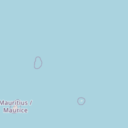
Map of flight path from Monrovia to Port-Vila
The map of the shortest flight path between Monrovia, Liberia and Port-Vila, Vanuatu is displayed below.
                               Leaflet | © OpenStreetMap |
Time Difference between Monrovia and Port-Vila
Time difference between Monrovia (Liberia) and Port-Vila (Vanuatu) is 11 Hours.
Port-Vila time is 11 Hours ahead of Monrovia.
Port-Vila time is 11 Hours ahead of Monrovia.
| Current local time in Monrovia | Current local time in Port-Vila |
|---|---|
| 2025-10-08, 21:47:00 GMT | 2025-10-09, 08:47:00 +11 |
Popular Searches from Monrovia
Popular Searches from Port-Vila
Please add a bookmark (press CTRL+D to add) and share the page with your friends!