Flight time from Saint John’s to Porto-Novo
How long is the flight time from Saint John’s to Porto-Novo?
The flight time between Saint John’s and Porto-Novo is 10 hours 7 minutes.
What is the Flight Distance Between Saint John’s and Porto-Novo?
The flight distance from Saint John’s (Antigua And Barbuda) to Porto-Novo (Benin) is 4402 miles or 7085 kilometers or 3823 nautical miles.
The calculated distance between two cities is the straight flight distance measured from one point to another by air. The nearest airport to Saint John’s is Pointe-à-Pitre Le Raizet International Airport (PTP) and the nearest airport to Porto-Novo is Murtala Muhammed International Airport (LOS).
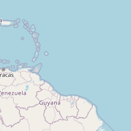
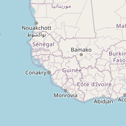
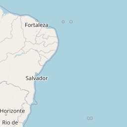
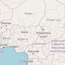
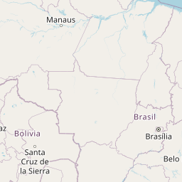
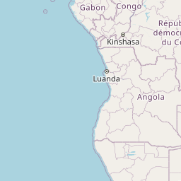
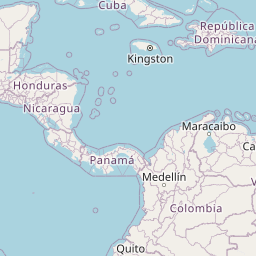
Map of flight path from Saint John’s to Porto-Novo
The map of the shortest flight path between Saint John’s, Antigua And Barbuda and Porto-Novo, Benin is displayed below.
                   Leaflet | © OpenStreetMap |
Saint John’s Details
Saint John’s is located in Antigua And Barbuda.
| GPS Coordinates | Latitude: N 17° 7' 15.5'' Longitude: W 61° 50' 35.8'' |
|---|---|
| Latitude | 17.12096 |
| Longitude | -61.84329 |
| Country | Antigua And Barbuda |
V C Bird International Airport (ANU)
Vance W. Amory International Airport (NEV)
Robert L. Bradshaw International Airport (SKB)
Porto-Novo Details
Porto-Novo is located in Benin.
| GPS Coordinates | Latitude: N 6° 29' 47.3'' Longitude: E 2° 36' 12.9'' |
|---|---|
| Latitude | 6.49646 |
| Longitude | 2.60359 |
| Country | Benin |
Murtala Muhammed International Airport (LOS)
Time Difference between Saint John’s and Porto-Novo
Time difference between Saint John’s (Antigua And Barbuda) and Porto-Novo (Benin) is 5 Hours.
Porto-Novo time is 5 Hours ahead of Saint John’s.
Porto-Novo time is 5 Hours ahead of Saint John’s.
| Current local time in Saint John’s | Current local time in Porto-Novo |
|---|---|
| 2025-11-10, 14:26:27 AST | 2025-11-10, 19:26:27 WAT |
Popular Searches from Saint John’s
Popular Searches from Porto-Novo
Please add a bookmark (press CTRL+D to add) and share the page with your friends!