Flight time from Santo Domingo Este to Belmopan
How long is the flight time from Santo Domingo Este to Belmopan?
The flight time between Santo Domingo Este and Belmopan is 2 hours 51 minutes.
What is the Flight Distance Between Santo Domingo Este and Belmopan?
The flight distance from Santo Domingo Este (Dominican Republic) to Belmopan (Belize) is 1246 miles or 2005 kilometers or 1082 nautical miles.
The calculated distance between two cities is the straight flight distance measured from one point to another by air. The nearest airport to Santo Domingo Este is Las Américas International Airport (SDQ) and the nearest airport to Belmopan is Philip S. W. Goldson International Airport (BZE).
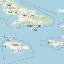
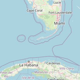
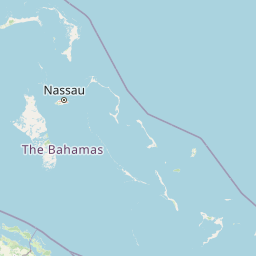
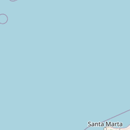
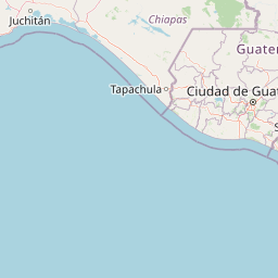
Map of flight path from Santo Domingo Este to Belmopan
The map of the shortest flight path between Santo Domingo Este, Dominican Republic and Belmopan, Belize is displayed below.
                   Leaflet | © OpenStreetMap |
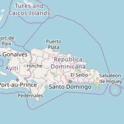
Santo Domingo Este Details
Santo Domingo Este is located in Dominican Republic.
| GPS Coordinates | Latitude: N 18° 29' 18.5'' Longitude: W 69° 51' 25.5'' |
|---|---|
| Latitude | 18.48847 |
| Longitude | -69.85707 |
| Country | Dominican Republic |
La Isabela International Airport (JBQ)
Las Américas International Airport (SDQ)
Samaná El Catey International Airport (AZS)
Casa De Campo International Airport (LRM)
Time Difference between Santo Domingo Este and Belmopan
Time difference between Santo Domingo Este (Dominican Republic) and Belmopan (Belize) is 2 Hours.
Belmopan time is 2 Hours behind Santo Domingo Este.
Belmopan time is 2 Hours behind Santo Domingo Este.
| Current local time in Santo Domingo Este | Current local time in Belmopan |
|---|---|
| 2025-11-10, 13:48:17 AST | 2025-11-10, 11:48:17 CST |
Popular Searches from Santo Domingo Este
Popular Searches from Belmopan
Please add a bookmark (press CTRL+D to add) and share the page with your friends!